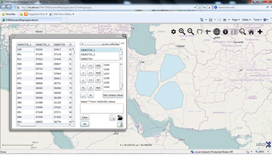
Product Details
The need of the Forests Resources and Watershed Management Organization to display and manage its aerial maps and photos on the web led to the production of the organization's WebGIS system. The organization has a huge volume of vector data and aerial photographs in an area as large as Iran that the management and integrated display of this data before the implementation of this system was not possible at all. This system has been able to take advantage of spatial data exchange standards on the Web and under the browser, as well as using the latest achievements of spatial databases.
Being a browser of this system will enable the user to connect to the system from anywhere and perform the desired activity, regardless of the operating system.
Important product features:
The most important capabilities that the deployment of this project provides to users are: Ability to save information temporarily Store user information encrypted Ability to send messages via email, SMS: Ability to send reports to Office and Adobe Reader Query capability Supports UTM, Lambert and Geographic image systems Ability to register Flag Ability to display vector data Ability to display raster data Ability to manage map layersTechnical details
The project was designed to produce software that runs on the latest versions of IE, Firefox and Chrome browsers that support the Silverlight plugin.In this system, first the location database is installed on the server and the spatial data and photos of the referenced land are entered into this database and other settings are performed. The system then connects to the database and displays the data. All displayed information layers have the ability to adjust the transparency and can also be turned on and off on the user side.
In this system, the user is able to observe different layers in the system of different coordinates, measure the length and area in the map, and also search for space between the descriptive information fields of the database spatial data.


.jpg)


